
Herceg Novi Guide
Herceg Novi Old Town
Herceg Novi
The old core on a slope above the sea, with stairways, the Clock Tower and Belavista Square with the Church of St Michael the Archangel.
How to get there by public transport
Nearest stops
Plan a route to “Herceg Novi Old Town”
From your location or a typed address — the route is drawn on the 3D map above.
Loading planner…

Frequently asked questions
How do I get to Herceg Novi Old Town by public transport?
The nearest stops are STANICA "KOD TONSATIJA", Herceg Novi, DUBRAVA. Open any of them to see the lines that stop there, or use the Journey Planner for a route from your location to Herceg Novi Old Town.
What is the nearest stop to Herceg Novi Old Town?
STANICA "KOD TONSATIJA" (stop code 85844), about 210 m from Herceg Novi Old Town. On the stop page you can see all the lines that stop there and live arrival estimates.
Where is Herceg Novi Old Town located?
Herceg Novi Old Town is in Herceg Novi. You can see its exact location and a 3D view at the top of this page.
How do I get to Herceg Novi Old Town from another part of the city?
Open the Journey Planner, enter your origin (an address or a stop) and Herceg Novi Old Town as the destination — you will get the best routes with lines, transfers and departure times based on the timetable.
Other landmarks


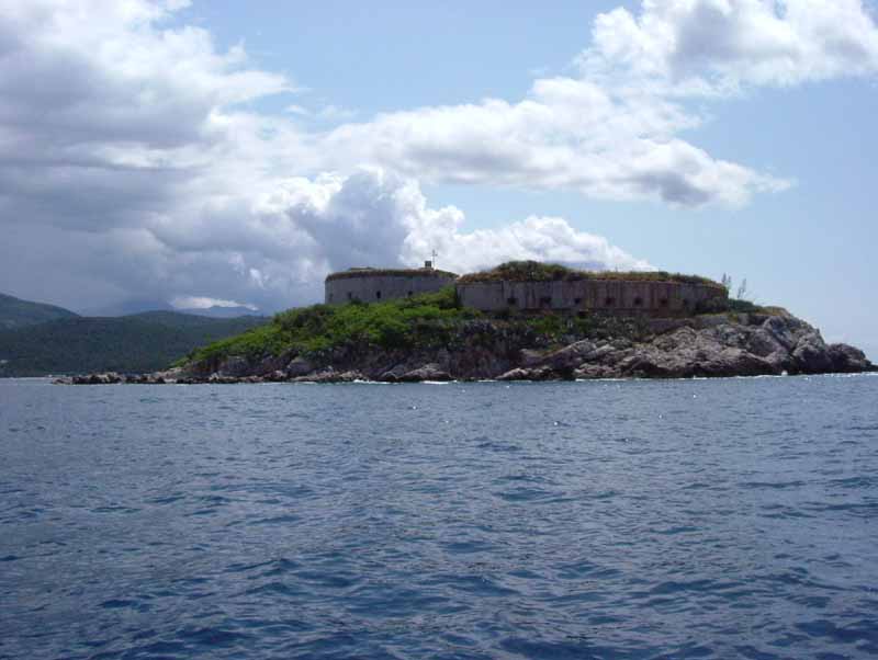


Photos: Wikimedia Commons (free/licensed) · 3D view: MapLibre + OpenStreetMap.