
Zrenjanin Guide
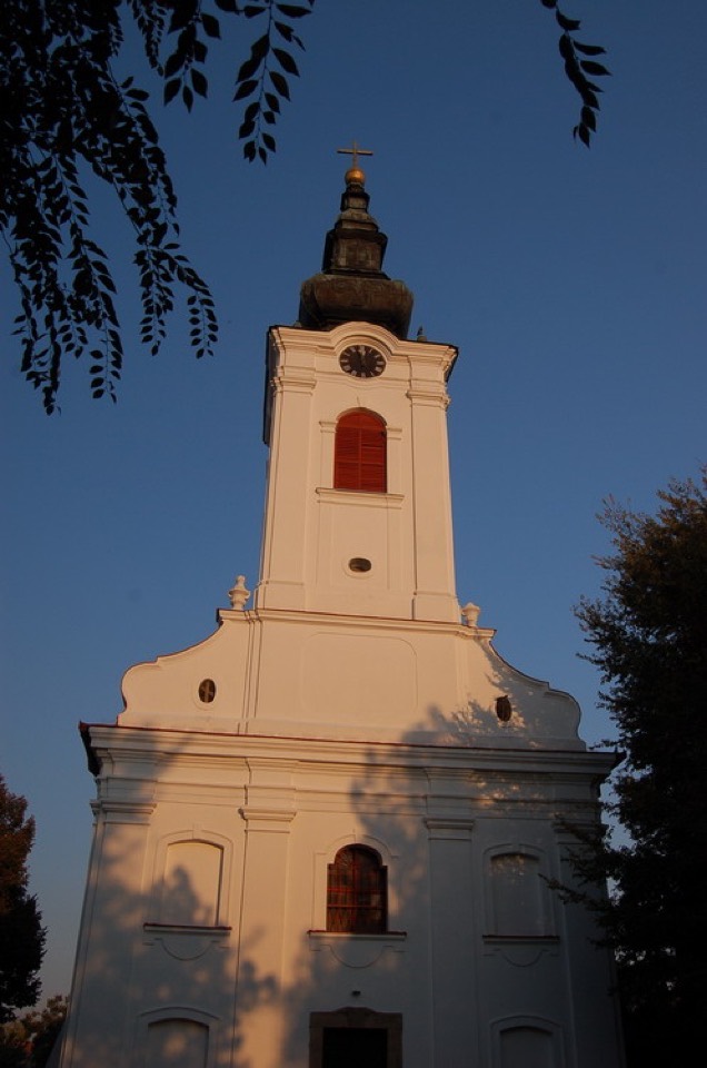
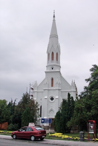
Vavedenjska crkva u Gradnulici
Zrenjanin
Crkva u starom zrenjaninskom naselju Gradnulica, oko koje se zadržao mir prigradske varoši.
How to get there by public transport
Nearest stops
Plan a route to “Vavedenjska crkva u Gradnulici”
From your location or a typed address — the route is drawn on the 3D map above.
Loading planner…
Frequently asked questions
How do I get to Vavedenjska crkva u Gradnulici by public transport?
The nearest stops are Cara Dušana, Sarajevska, Stadion. Open any of them to see the lines that stop there, or use the Journey Planner for a route from your location to Vavedenjska crkva u Gradnulici.
What is the nearest stop to Vavedenjska crkva u Gradnulici?
Cara Dušana (stop code 10304), about 230 m from Vavedenjska crkva u Gradnulici. On the stop page you can see all the lines that stop there and live arrival estimates.
Where is Vavedenjska crkva u Gradnulici located?
Vavedenjska crkva u Gradnulici is in Zrenjanin. You can see its exact location and a 3D view at the top of this page.
How do I get to Vavedenjska crkva u Gradnulici from another part of the city?
Open the Journey Planner, enter your origin (an address or a stop) and Vavedenjska crkva u Gradnulici as the destination — you will get the best routes with lines, transfers and departure times based on the timetable.
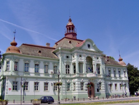
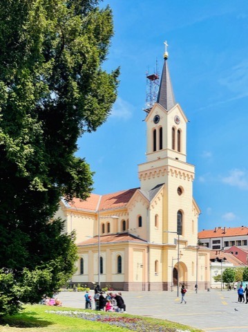
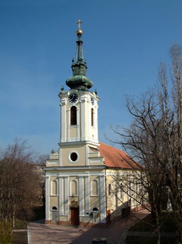
Other landmarks
Photos: Wikimedia Commons (free/licensed) · 3D view: MapLibre + OpenStreetMap.