
Guide
Zrenjanin Guide
Zrenjanin landmarks in true 3D — and how to reach each by public transport (lines, nearest stops, a planner from your location).
- 10Landmarks
- ZrenjaninCity
Landmarks · 10
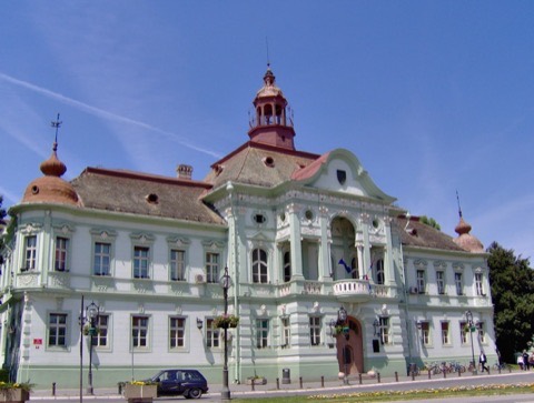 3D Gradska kuća (Županija)Nekadašnja Torontalska županija, najreprezentativnije zdanje na Trgu slobode i simbol Zrenjanina.Open guide
 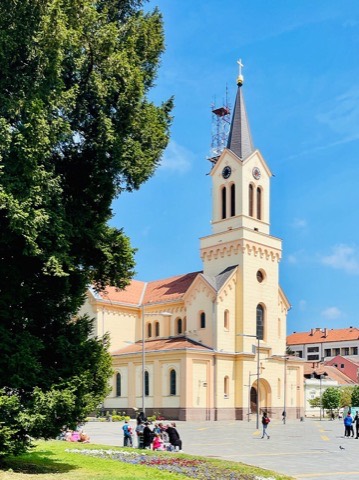 3D Katedrala Svetog Ivana NepomukaKatolička katedrala na glavnom trgu, sedište Zrenjaninske biskupije i jedna od najprepoznatljivijih građevina grada.Open guide
 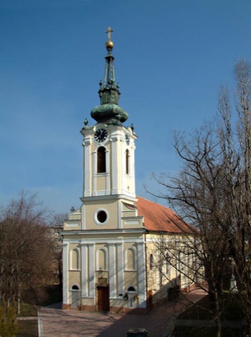 3D Uspenska crkvaPravoslavna crkva u starom jezgru Zrenjanina, sa baroknim tornjem koji se vidi iz većeg dela centra.Open guide
 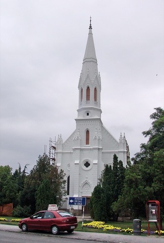 3D Reformatska crkvaCrkva reformatske zajednice, deo verske i kulturne raznolikosti banatskog grada.Open guide
 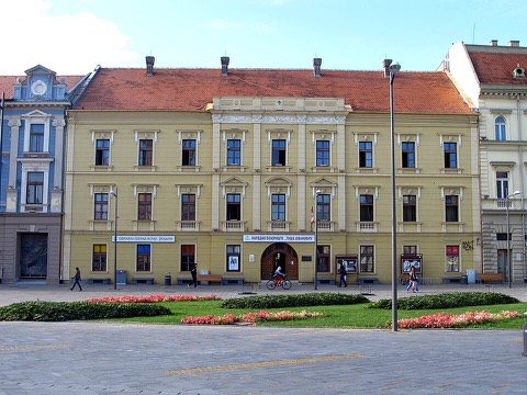 3D Narodno pozorište „Toša Jovanović"Jedno od najstarijih pozorišta u Srbiji, u zdanju koje je vek i po središte kulturnog života grada.Open guide
 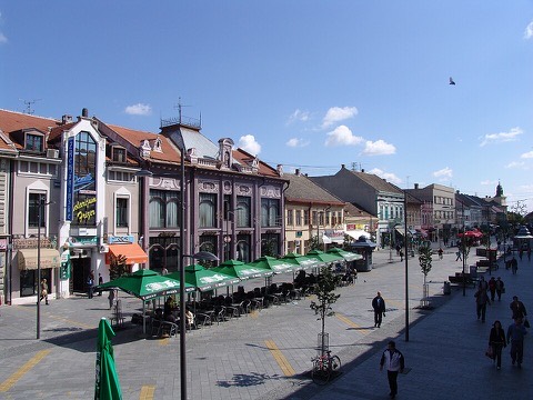 3D Staro gradsko jezgroPešačka zona sa nizom građanskih fasada XIX i XX veka — jezgro po kome Zrenjanin i danas nosi nadimak „banatski Beč".Open guide
 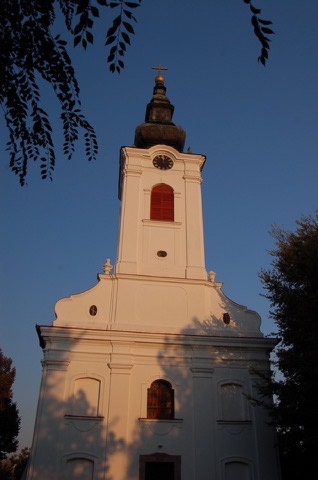 3D Vavedenjska crkva u GradnuliciCrkva u starom zrenjaninskom naselju Gradnulica, oko koje se zadržao mir prigradske varoši.Open guide
 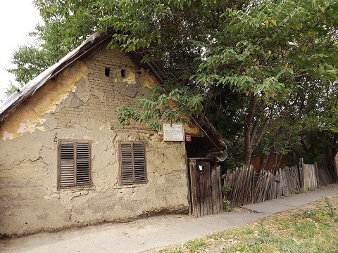 3D Sandićeva kućaGrađanska kuća pod zaštitom, primer stanovanja imućnih zrenjaninskih porodica s kraja XIX veka.Open guide
 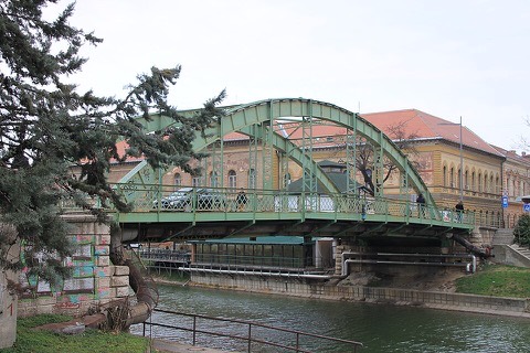 3D Mali most na BegejuMost preko Begeja u središtu grada — kratka veza između obala i jedan od omiljenih gradskih motiva.Open guide
 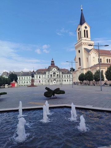 3D Trg slobodeGlavni gradski trg okružen zdanjima Županije, katedrale i pozorišta — mesto svih većih okupljanja u Zrenjaninu.Open guide
 Frequently asked questions
How do I reach Zrenjanin’s landmarks by public transport?
Open any landmark from the guide — its page shows the nearest stops and a planner that finds a route from your location to it, with lines, transfers and departure times based on the timetable.
Which landmarks does the guide cover?
Zrenjanin’s best-known landmarks — Gradska kuća (Županija), Katedrala Svetog Ivana Nepomuka, Uspenska crkva, Reformatska crkva, Narodno pozorište „Toša Jovanović" — each with a 3D view of the location and directions on how to get there by public transport.
What is the 3D view of a landmark?
An interactive 3D model of the location (buildings and surroundings from OpenStreetMap data) that rotates and tilts. It is not a photo but a graphical view of the place, so you can recognise the area before you set off.
How do I plan a tour of several landmarks?
Use the Journey Planner for a public transport route to each landmark; every landmark page also lists the nearest stops with arrival estimates, so you can easily chain several points into one tour.
Photos: Wikimedia Commons (free/licensed) · 3D view: MapLibre + OpenStreetMap.