
Guide
Niš Guide
Niš landmarks in true 3D — and how to reach each by public transport (lines, nearest stops, a planner from your location).
- 10Landmarks
- 1Guides & tips
- NišCity
Guides & tips
All guides →Landmarks · 10
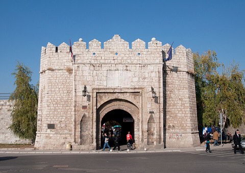 3D Niška tvrđavaOsmanska tvrđava (1719–1723) na desnoj obali Nišave, podignuta nad rimskim, vizantijskim i srednjovekovnim temeljima — jedna od najbolje očuvanih na centralnom Balkanu. Kroz Stambol kapiju ulazi se u gradski park sa ostacima hamama, spomenicima i letnjom pozornicom.Open guide
 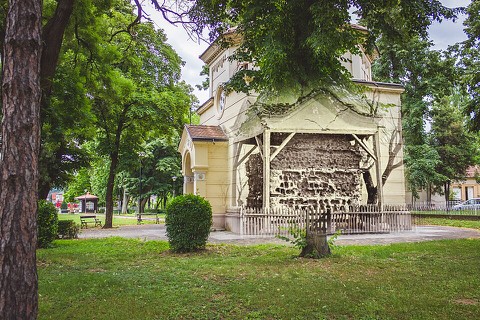 3D Ćele kulaKula koju su Osmanlije 1809. podigle od lobanja srpskih ustanika poginulih u Boju na Čegru — jedinstven spomenik stradanja i otpora u svetu. Danas je zaštićena kapelom iz 1892. i muzejski uređena.Open guide
 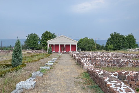 3D MedijanaKasnorimski carski kompleks s početka 4. veka na istočnom obodu antičkog Naisa, vezan za Konstantina Velikog. Čuva raskošne podne mozaike i vilu sa peristilom — arheološko nalazište pod zaštitom.Open guide
 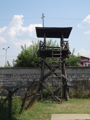 3D Logor na Crvenom krstuJedan od retkih očuvanih nacističkih koncentracionih logora u Evropi, osnovan 1941. Poznat po masovnom bekstvu zatočenika u februaru 1942. godine; danas memorijalni muzej i mesto sećanja.Open guide
 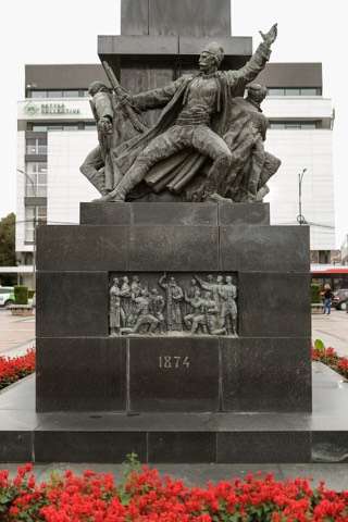 3D Spomenik oslobodiocima NišaSpomenik na Trgu kralja Milana u samom centru grada, posvećen oslobodiocima Niša kroz njegove ratove. Podignut 1937, delo vajara Antuna Augustinčića — jedno od prepoznatljivih obeležja Niša.Open guide
 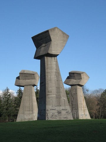 3D Spomen-park BubanjMemorijalni park na brdu gde su tokom Drugog svetskog rata streljane hiljade civila. U središtu su „Tri pesnice" vajara Ivana Sabolića (1963) — snažan simbol otpora i sećanja.Open guide
 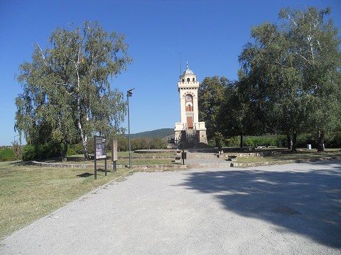 3D Spomenik na ČegruKula-spomenik (1927) na brdu Čegar, u znak sećanja na Boj na Čegru 31. maja 1809, kada je Stevan Sinđelić raznео barutanu i sebe, svoje ljude i napadače. Mesto godišnjih pomena.Open guide
 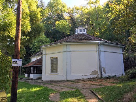 3D Niška BanjaBanjsko naselje desetak kilometara istočno od Niša, poznato po termalnim radonskim izvorima koji se koriste u lečenju srca i reumatskih tegoba. Omiljeno izletište i odmaralište Nišlija.Open guide
 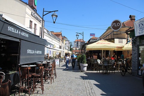 3D Kazandžijsko sokačeKaldrmisana ulica stare čaršije u centru — nekadašnja kazandžijska (bakarska) zanatska mahala. Danas je puna kafana i kafića, sa očuvanom atmosferom osmanske varoši.Open guide
 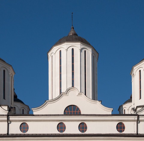 3D Saborna crkvaSaborna crkva Svete Trojice, sedište Eparhije niške, građena 1856–1872. Jedna od najvećih crkava u Srbiji, u samom centru grada.Open guide
 Frequently asked questions
How do I reach Niš’s landmarks by public transport?
Open any landmark from the guide — its page shows the nearest stops and a planner that finds a route from your location to it, with lines, transfers and departure times based on the timetable.
Which landmarks does the guide cover?
Niš’s best-known landmarks — Niška tvrđava, Ćele kula, Medijana, Logor na Crvenom krstu, Spomenik oslobodiocima Niša — each with a 3D view of the location and directions on how to get there by public transport.
What is the 3D view of a landmark?
An interactive 3D model of the location (buildings and surroundings from OpenStreetMap data) that rotates and tilts. It is not a photo but a graphical view of the place, so you can recognise the area before you set off.
How do I plan a tour of several landmarks?
Use the Journey Planner for a public transport route to each landmark; every landmark page also lists the nearest stops with arrival estimates, so you can easily chain several points into one tour.
Photos: Wikimedia Commons (free/licensed) · 3D view: MapLibre + OpenStreetMap.