
Guide
Subotica Guide
Subotica landmarks in true 3D — and how to reach each by public transport (lines, nearest stops, a planner from your location).
- 10Landmarks
- SuboticaCity
Landmarks · 10
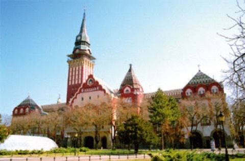 3D Gradska kućaSimbol Subotice i jedno od najlepših secesijskih zdanja u Srbiji — sa vidikovca na tornju puca pogled na ceo grad i ravnicu.Open guide
 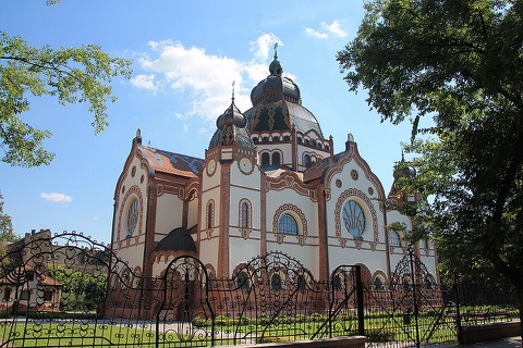 3D Subotička sinagogaRemek-delo mađarske secesije i jedna od najznačajnijih sinagoga u Evropi, obnovljena i otvorena za posetioce i koncerte.Open guide
 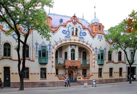 3D Palata RajhlRaskošna secesijska palata koju je arhitekta Ferenc Rajhl podigao za sebe — danas Savremena galerija Subotica.Open guide
 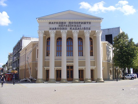 3D Narodno pozorištePozorišna kuća sa klasicističkim stubovima u samom centru, jedna od najstarijih pozorišnih tradicija na severu Srbije.Open guide
 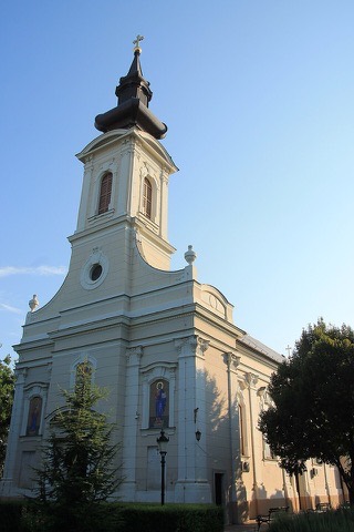 3D Crkva Svetog VaznesenjaSrpska pravoslavna crkva u centru Subotice, mirna tačka nekoliko koraka od najprometnijih gradskih ulica.Open guide
 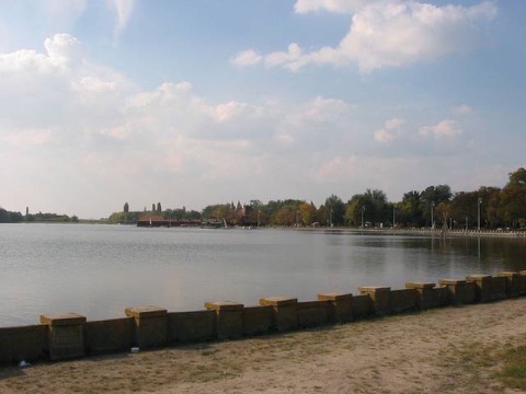 3D Palićko jezeroNajpoznatije izletište Subotice — šetalište uz vodu, park sa vilama iz doba secesije i letnja okupljališta na obali.Open guide
 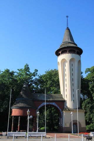 3D Vodotoranj na PalićuSecesijski vodotoranj na ulazu u park na Paliću, najprepoznatljiviji motiv ovog banjskog naselja.Open guide
 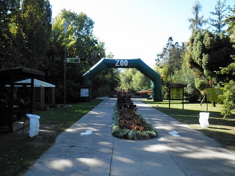 3D Zoološki vrt PalićZoo vrt uz samu obalu Palićkog jezera, jedno od omiljenih porodičnih odredišta u ovom delu Vojvodine.Open guide
 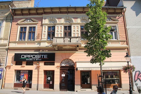 3D Dominus kućaKuća prepoznatljive fasade iz vremena kada je Subotica gradila po ugledu na velike srednjoevropske varoši.Open guide
 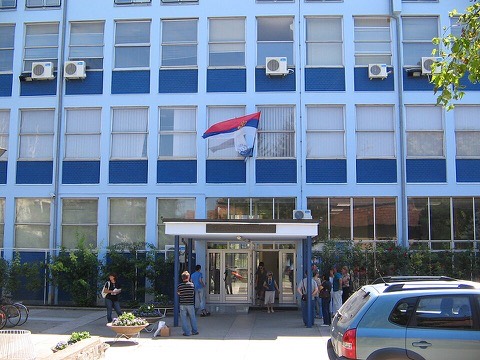 3D Zgrada Ekonomskog fakultetaZdanje fakulteta u zelenom delu grada — jedno od mesta koja Suboticu drže na univerzitetskoj mapi Srbije.Open guide
 Frequently asked questions
How do I reach Subotica’s landmarks by public transport?
Open any landmark from the guide — its page shows the nearest stops and a planner that finds a route from your location to it, with lines, transfers and departure times based on the timetable.
Which landmarks does the guide cover?
Subotica’s best-known landmarks — Gradska kuća, Subotička sinagoga, Palata Rajhl, Narodno pozorište, Crkva Svetog Vaznesenja — each with a 3D view of the location and directions on how to get there by public transport.
What is the 3D view of a landmark?
An interactive 3D model of the location (buildings and surroundings from OpenStreetMap data) that rotates and tilts. It is not a photo but a graphical view of the place, so you can recognise the area before you set off.
How do I plan a tour of several landmarks?
Use the Journey Planner for a public transport route to each landmark; every landmark page also lists the nearest stops with arrival estimates, so you can easily chain several points into one tour.
Photos: Wikimedia Commons (free/licensed) · 3D view: MapLibre + OpenStreetMap.