
Guide
Užice Guide
Užice landmarks in true 3D — and how to reach each by public transport (lines, nearest stops, a planner from your location).
- 10Landmarks
- UžiceCity
Landmarks · 10
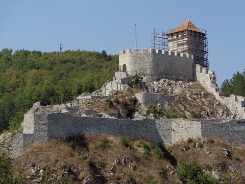 3D Stari grad (Užički grad)Srednjovekovna tvrđava iznad kanjona Đetinje, sa kulama i pogledom koji je vekovima čuvao put kroz klisuru.Open guide
 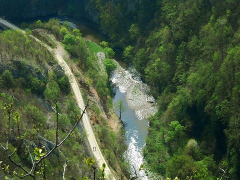 3D Klisura ĐetinjePredeo izuzetnih odlika sa stazom uz reku, tunelima stare pruge i stenama nad vodom — najlepša šetnja u Užicu.Open guide
 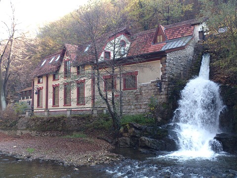 3D Hidroelektrana „Pod gradom"Elektrana na Đetinji iz 1900. godine, građena po Teslinim principima — jedna od najstarijih u Evropi koja i danas radi.Open guide
 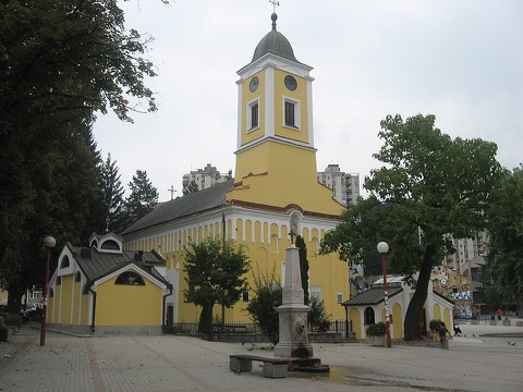 3D Crkva Svetog ĐorđaSaborna crkva u središtu Užica, podignuta u XIX veku i od tada glavno okupljalište gradske pravoslavne zajednice.Open guide
 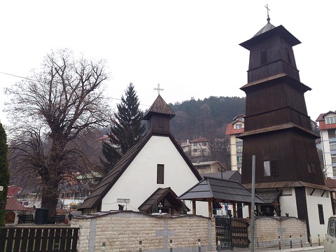 3D Crkva Svetog MarkaCrkva u gornjem delu grada, prepoznatljiva silueta na užičkim padinama.Open guide
 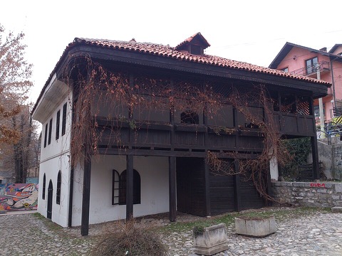 3D Jokanovića kućaNajstarija sačuvana gradska kuća u Užicu, primer balkanske varoške arhitekture — danas muzejski prostor.Open guide
 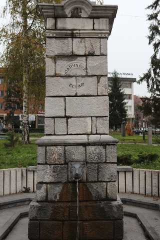 3D Opančarska česmaStara gradska česma koja podseća na užičke zanatlije i čaršiju kakva je bila pre modernog centra.Open guide
 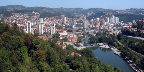 3D Trg partizanaJedan od najvećih trgova u Srbiji i srce Užica — mesto gradskih okupljanja, sa spomenikom i modernističkim zdanjima oko njega.Open guide
 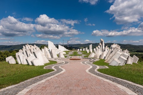 3D Spomen-kompleks KadinjačaMemorijalni kompleks na prevoju zapadno od Užica, jedno od najupečatljivijih dela jugoslovenske spomeničke arhitekture.Open guide
 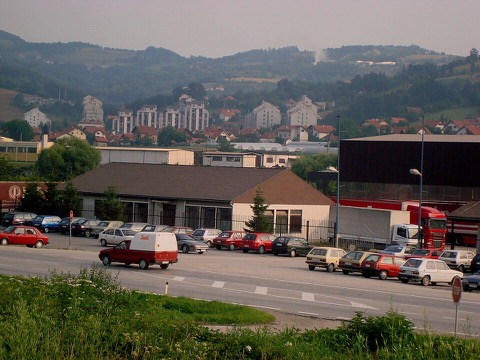 3D SevojnoIndustrijsko naselje u sastavu grada, sa kojim je Užice povezano najgušćim linijama gradskog prevoza.Open guide
 Frequently asked questions
How do I reach Užice’s landmarks by public transport?
Open any landmark from the guide — its page shows the nearest stops and a planner that finds a route from your location to it, with lines, transfers and departure times based on the timetable.
Which landmarks does the guide cover?
Užice’s best-known landmarks — Stari grad (Užički grad), Klisura Đetinje, Hidroelektrana „Pod gradom", Crkva Svetog Đorđa, Crkva Svetog Marka — each with a 3D view of the location and directions on how to get there by public transport.
What is the 3D view of a landmark?
An interactive 3D model of the location (buildings and surroundings from OpenStreetMap data) that rotates and tilts. It is not a photo but a graphical view of the place, so you can recognise the area before you set off.
How do I plan a tour of several landmarks?
Use the Journey Planner for a public transport route to each landmark; every landmark page also lists the nearest stops with arrival estimates, so you can easily chain several points into one tour.
Photos: Wikimedia Commons (free/licensed) · 3D view: MapLibre + OpenStreetMap.