
Guide
Belgrade Guide
Belgrade landmarks in true 3D — and how to reach each by public transport (lines, nearest stops, a planner from your location).
- 23Landmarks
- 10Guides & tips
- BeogradCity
Guides & tips
All guides →Landmarks · 23
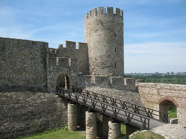 3D Kalemegdan and Belgrade FortressThe city's largest park and its historic heart, set at the confluence of the Sava and the Danube around Belgrade Fortress — a place for strolling, river views and ancient ramparts.Open guide
 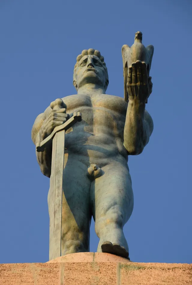 3D The Victor MonumentA symbol of Belgrade standing atop the Upper Town of Kalemegdan, overlooking the confluence of the rivers — the work of Ivan Meštrović.Open guide
 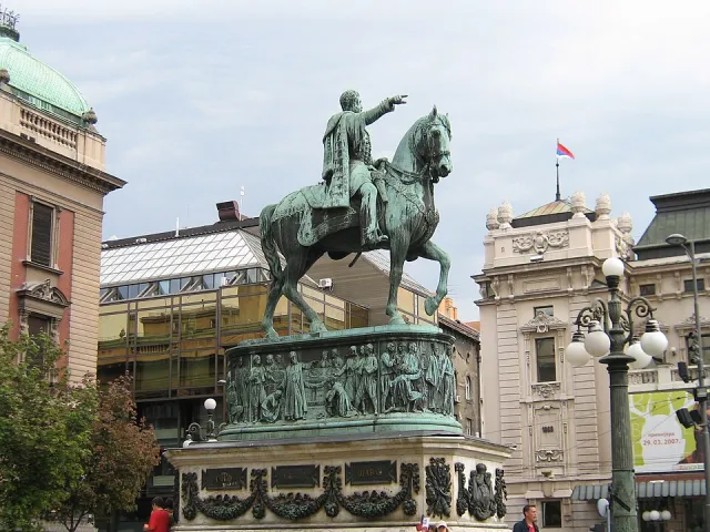 3D Monument to Prince MihailoAn equestrian monument on Republic Square, one of the city's central gathering places.Open guide
 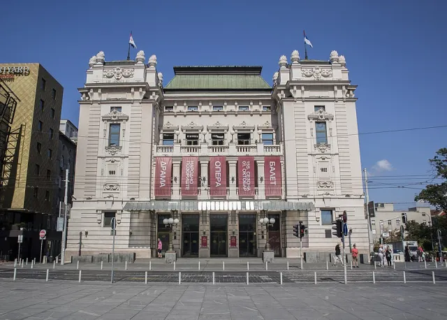 3D National TheatreThe oldest and most important theatre house in Serbia, standing on Republic Square.Open guide
 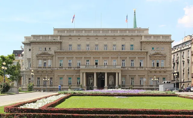 3D Old PalaceA former royal residence, today the seat of the Belgrade City Assembly.Open guide
 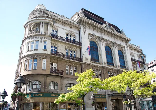 3D The SASA BuildingThe palace of the Serbian Academy of Sciences and Arts on Knez Mihailova Street — a fine example of grand urban architecture.Open guide
 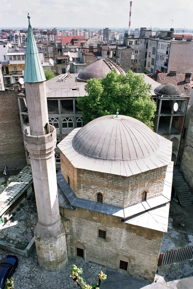 3D Bajrakli MosqueThe only preserved Belgrade mosque from the Ottoman period, located in Dorćol.Open guide
 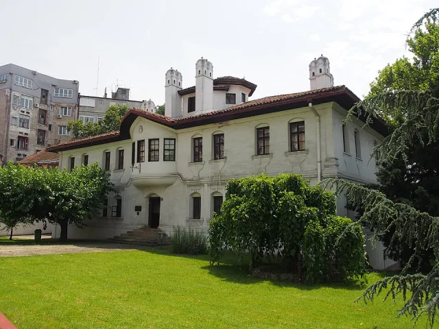 3D Princess Ljubica's ResidenceA Balkan-style residence from the era of Prince Miloš, today a museum of 19th-century city life.Open guide
 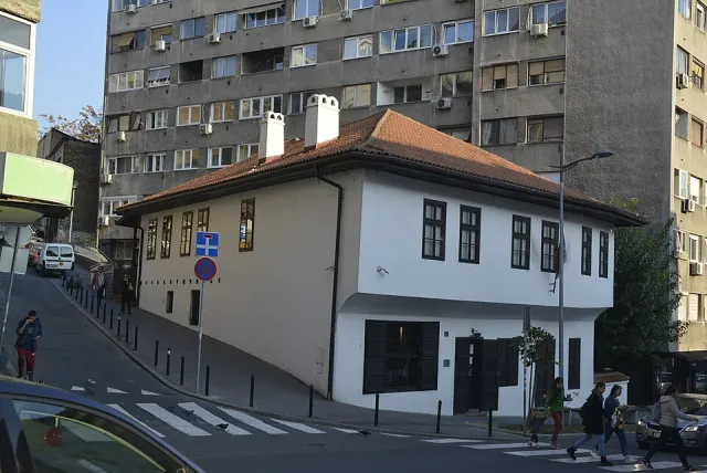 3D Manak's HouseAn old town house in Savamala, today a museum space with an ethnographic collection.Open guide
 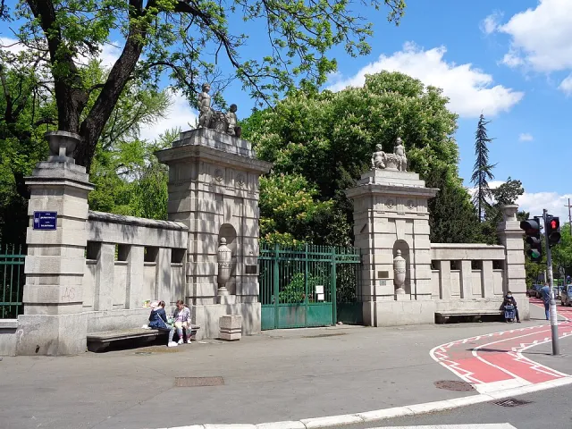 3D Jevremovac Botanical GardenThe University of Belgrade's garden with a glasshouse, a green oasis close to the city centre.Open guide
 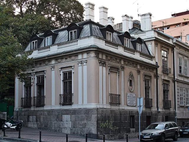 3D Nikola Pašić's HouseA building linked to one of the most influential Serbian politicians, in the city's wider centre.Open guide
 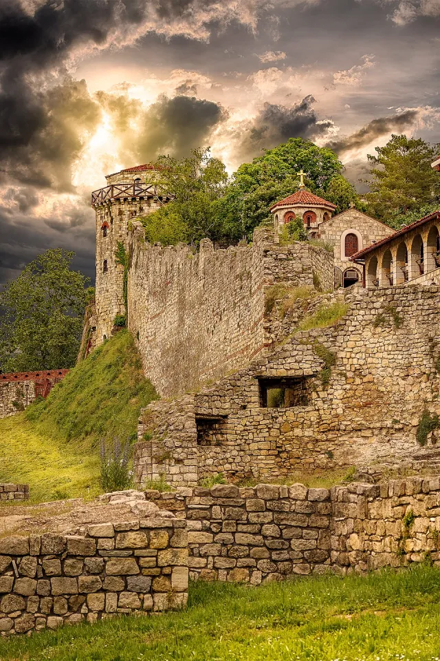 3D Jakšić TowerA historic tower at the Danube edge of the city, part of Belgrade's old story.Open guide
 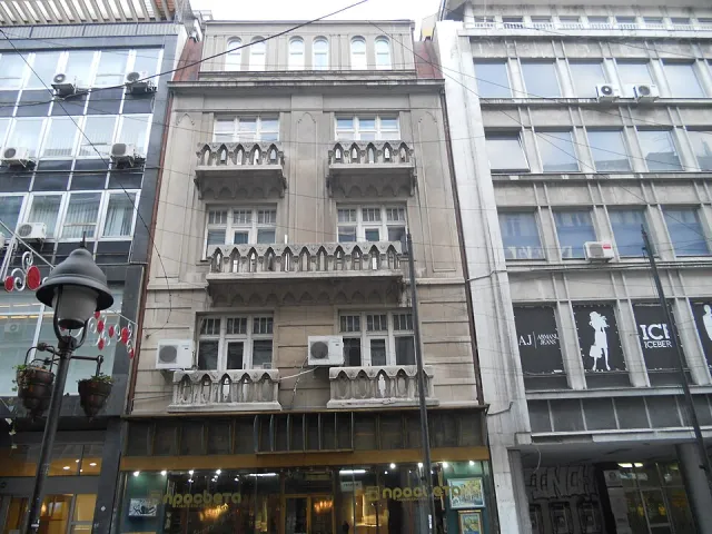 3D Geca Kon BookshopThe building of the celebrated interwar publisher and bookseller in the heart of Belgrade.Open guide
 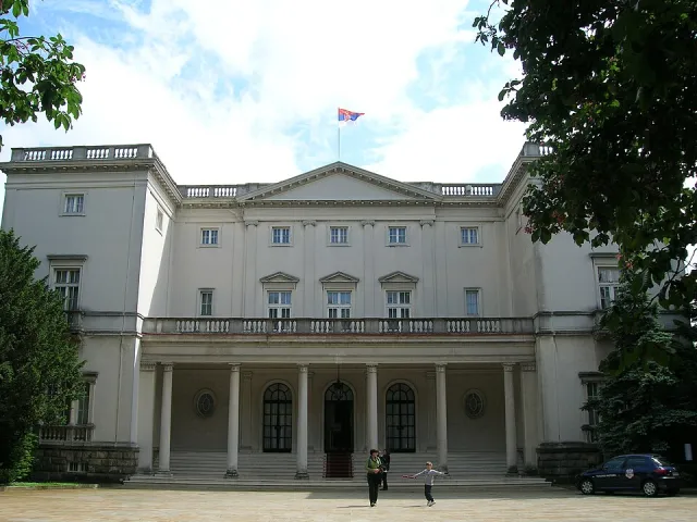 3D White PalaceThe grand residence of the royal court complex on Dedinje hill.Open guide
 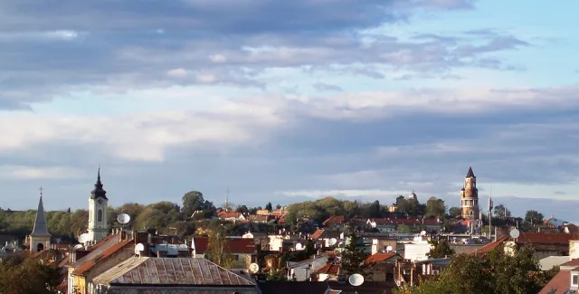 3D Gardoš (Sibinjanin Janko Tower)A Zemun tower on Gardoš hill offering panoramic views of the Danube and Zemun.Open guide
 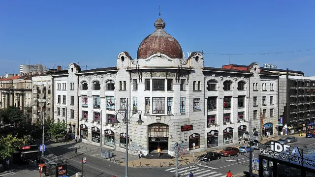 3D The Officers' Cooperative BuildingA distinguished building in the city centre, an example of Belgrade architecture from the early 20th century.Open guide
 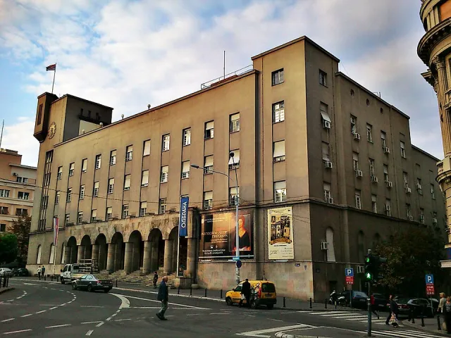 3D House of the Serbian Armed ForcesA building in the city centre serving as a cultural and representative space of the armed forces.Open guide
 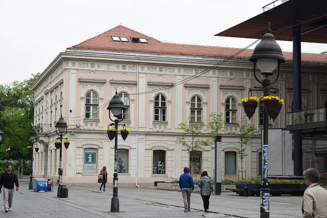 3D Belgrade City LibraryThe city library housed in the former "Srpska Kruna" (Serbian Crown) hotel on Knez Mihailova Street.Open guide
 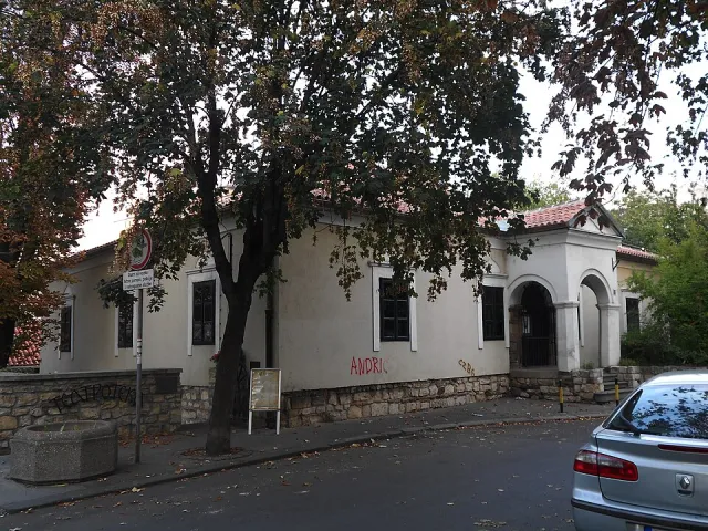 3D Božić HouseAn old townhouse — a witness to the architecture of old Belgrade.Open guide
 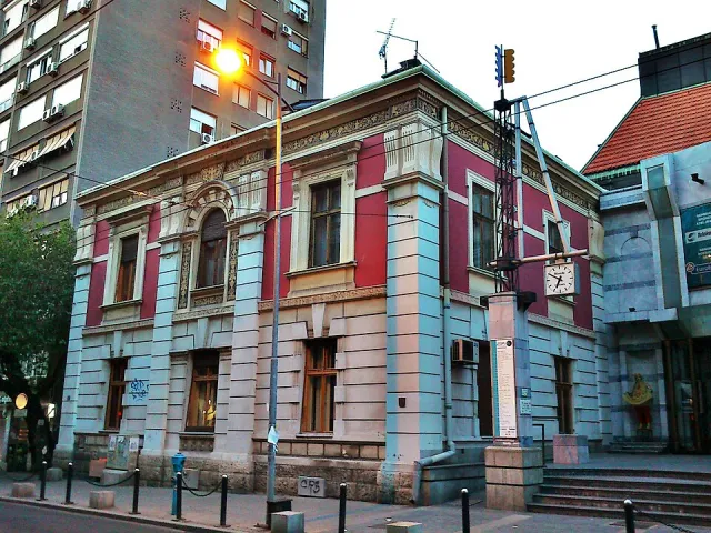 3D Jevrem Grujić HouseA heritage building and legacy museum with an art collection in the city centre.Open guide
 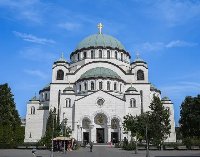 3D Church of Saint SavaOne of the largest Orthodox churches in the world and a defining symbol of the Belgrade skyline on Vračar hill.Open guide
 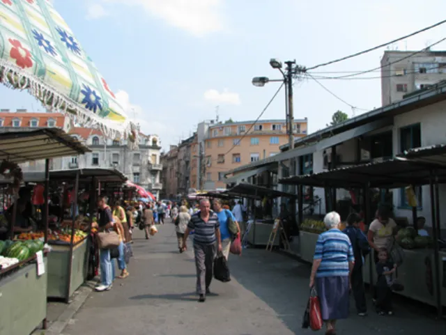 3D SkadarlijaAn old bohemian quarter with cobblestones, taverns and live music — Belgrade's own "Montmartre".Open guide
 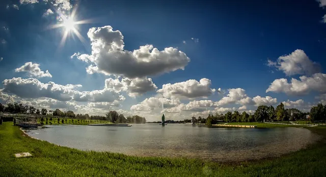 3D Ada CiganlijaA river island and lake — the city's bathing spot and a hub for sports and recreation.Open guide
 Frequently asked questions
How do I reach Belgrade’s landmarks by public transport?
Open any landmark from the guide — its page shows the nearest stops and a planner that finds a route from your location to it, with lines, transfers and departure times based on the timetable.
Which landmarks does the guide cover?
Belgrade’s best-known landmarks — Kalemegdan, the Temple of Saint Sava, Skadarlija, Ada Ciganlija, Gardoš and more — each with a 3D view of the location and directions on how to get there by public transport.
What is the 3D view of a landmark?
An interactive 3D model of the location (buildings and surroundings from OpenStreetMap data) that rotates and tilts. It is not a photo but a graphical view of the place, so you can recognise the area before you set off.
How do I plan a tour of several landmarks?
Use the Journey Planner for a public transport route to each landmark; every landmark page also lists the nearest stops with arrival estimates, so you can easily chain several points into one tour.
Photos: Wikimedia Commons (free/licensed) · 3D view: MapLibre + OpenStreetMap.